(Urban space) Construction of Gangnam
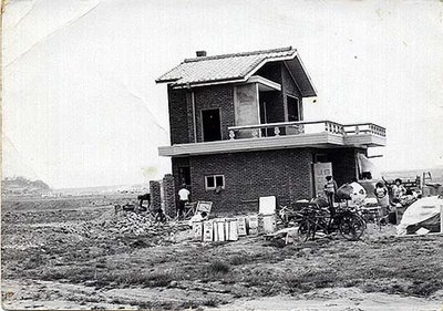
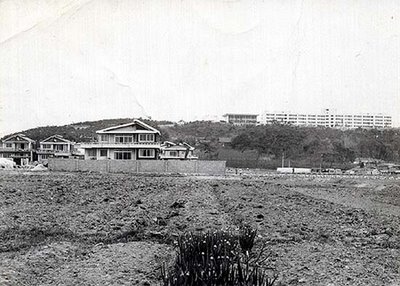
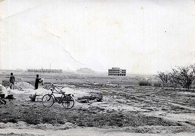
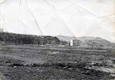
| Some Ohmynews writer has unearthed some interesting old photographs from the Gangnam area in the 1970s, before it was made what the modern Korea was about to be. It was mostly void of people expect some farmers, until Korean and Seoul authorities decided that Seoul should grow southwards to the other side of the river. Or Seoul had actually expanded south of the river already, for example evictees from downtown squatter areas had been taken over the river but to mostly southwestern parts; southeastern areas of Seoul were to become something else. Pictures from Ohmynews, ⓒ2004 전대원 The site is Samseong-dong in Gangnam-gu, where the Teheran Street goes nowadays, close to Coex.   In the picture above, the white building is Gyeonggi High School, which was transferred across the river in order to encourage people to move there. Gyeonggi-go was the high school to enter SNU and the ROK elite.    This is what it looks like at Teheran-ro nowadays. Categories at del.icio.us/hunjang: housing ∙ urbanspace ∙ Seoul ∙ contemp.history ∙ modernization |


Comments to note "(Urban space) Construction of Gangnam" (Comments to posts older than 14 days are moderated)
Write a Comment